
Ikuchijima Cycling
Ikuchijima Cycling Guide
Cycling Ikuchijima means riding from the Ikuchi Bridge through Setoda to the Tatara Bridge. The sign at the bottom of the bridge path puts the Tatara Bridge entrance at 13.0 km. Along the way in Setoda, you can detour to Kosanji Temple and the shopping street.
Based on our own ride, photos and checks on Wednesday, October 7, 2026, a sunny day.
Ikuchijima cycling route overview
Ikuchijima is the third island on the Shimanami Kaido counting from Onomichi. It is linked to Innoshima in the east by the Ikuchi Bridge and to Omishima in the southwest by the Tatara Bridge.
| Entry bridge | Ikuchi Bridge (cable-stayed, 790 m long) |
|---|---|
| Exit bridge | Tatara Bridge (cable-stayed, 1,480 m long, opened 1999) |
| Ikuchi Bridge to Setoda Port | About 6.8 km (via the north coast) |
| Setoda Port to Tatara Bridge | About 6.2 km (via Prefectural Road 81) |
| Main roads | The island’s north coast and Prefectural Road 81 (with the blue line) |
| Detours | Setoda town (Kosanji, Shiomachi shopping street, Setoda Port) |
*Bridge lengths and opening year are from Nippon Tabi Magazine (tabi-mag.jp). Section distances were calculated from the navy-blue cycling signs on the island.
This time, after coming down from the Ikuchi Bridge, we rode around the island counterclockwise. We headed west along the north coast, stopped in Setoda town, then rode south down the west coast on Prefectural Road 81. After passing under the Tatara Bridge we rode east along the south coast and completed a loop of the island. This page introduces the scenery and stops of each section in the order we rode them.
Down from the Ikuchi Bridge to 7-Eleven
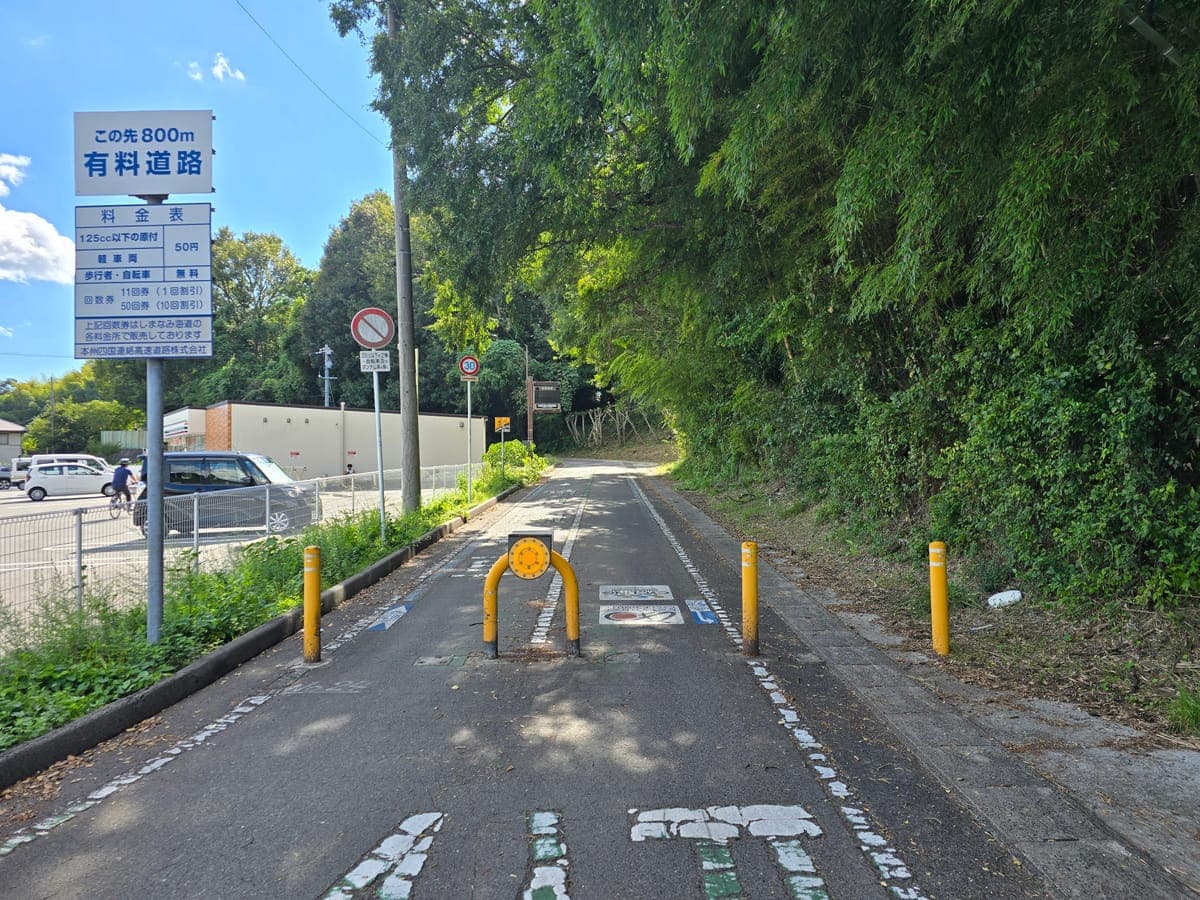
Cross the Ikuchi Bridge bike path from Innoshima and you come down a slope beside a bamboo grove onto Ikuchijima. At the bottom there are yellow U-shaped bollards with a toll board beside them.
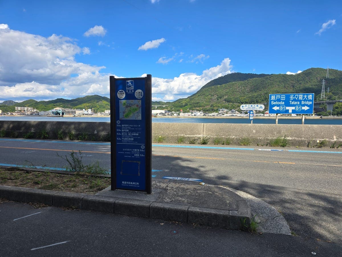
Just past the bottom of the path is a navy-blue cycling sign. Left goes to Kosanji and Setoda Port; right goes to Komyobo and Citrus Park Setoda. This time we went left and rode around the island counterclockwise.
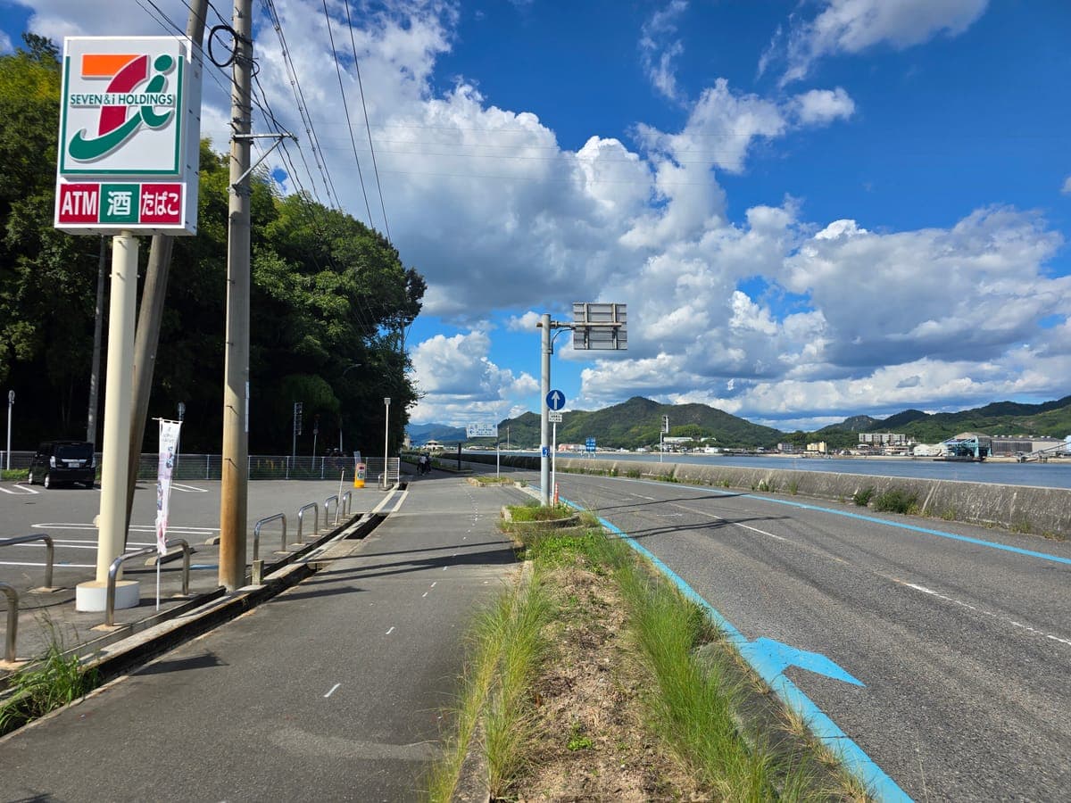
Right beside the bottom of the bike path is a 7-Eleven, a place to stock up as soon as you reach the island. From the parking lot in front of the store, you can see the whole Ikuchi Bridge you just crossed.
The north coast, Dolce and Shima no Eki Shimanami 1
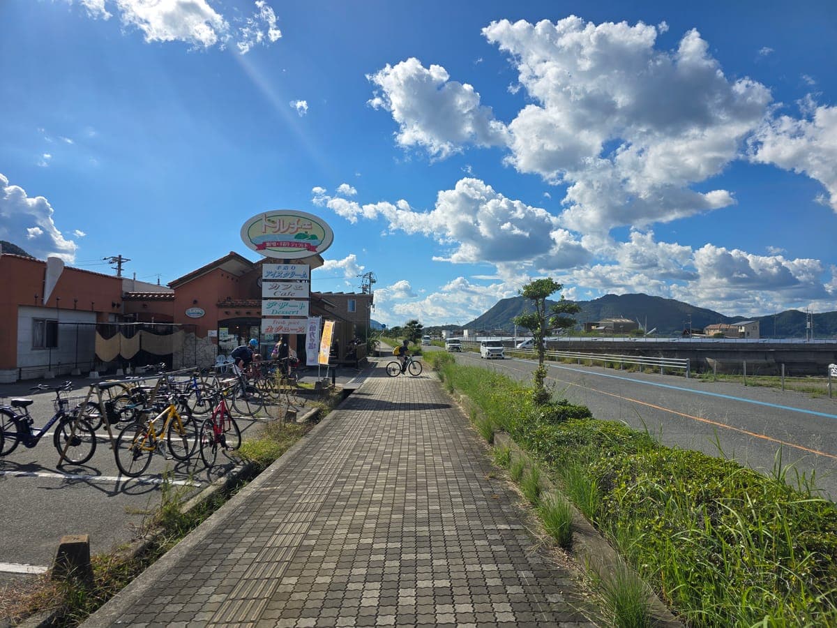
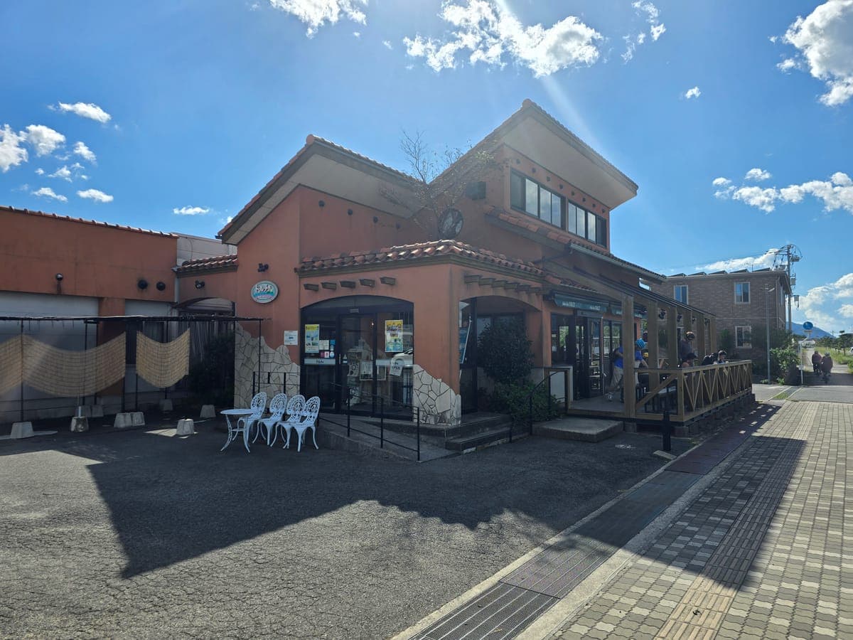
About 2.8 km west along the north coast in a straight line is the gelato shop Dolce. Its sign advertises handmade ice cream, cafe, desserts and fresh juice. About 10 bikes were lined up in front, and cyclists from overseas were taking a break.
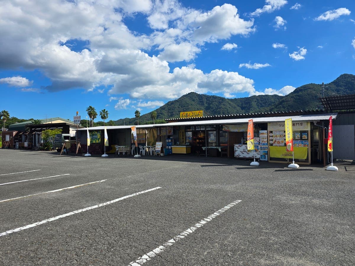
On the same site is the souvenir shop Shima no Eki Shimanami 1. Banners and signs advertised lemon-flavored karaage, fries and lemonade. This time we did not go into either shop, only looked from outside.
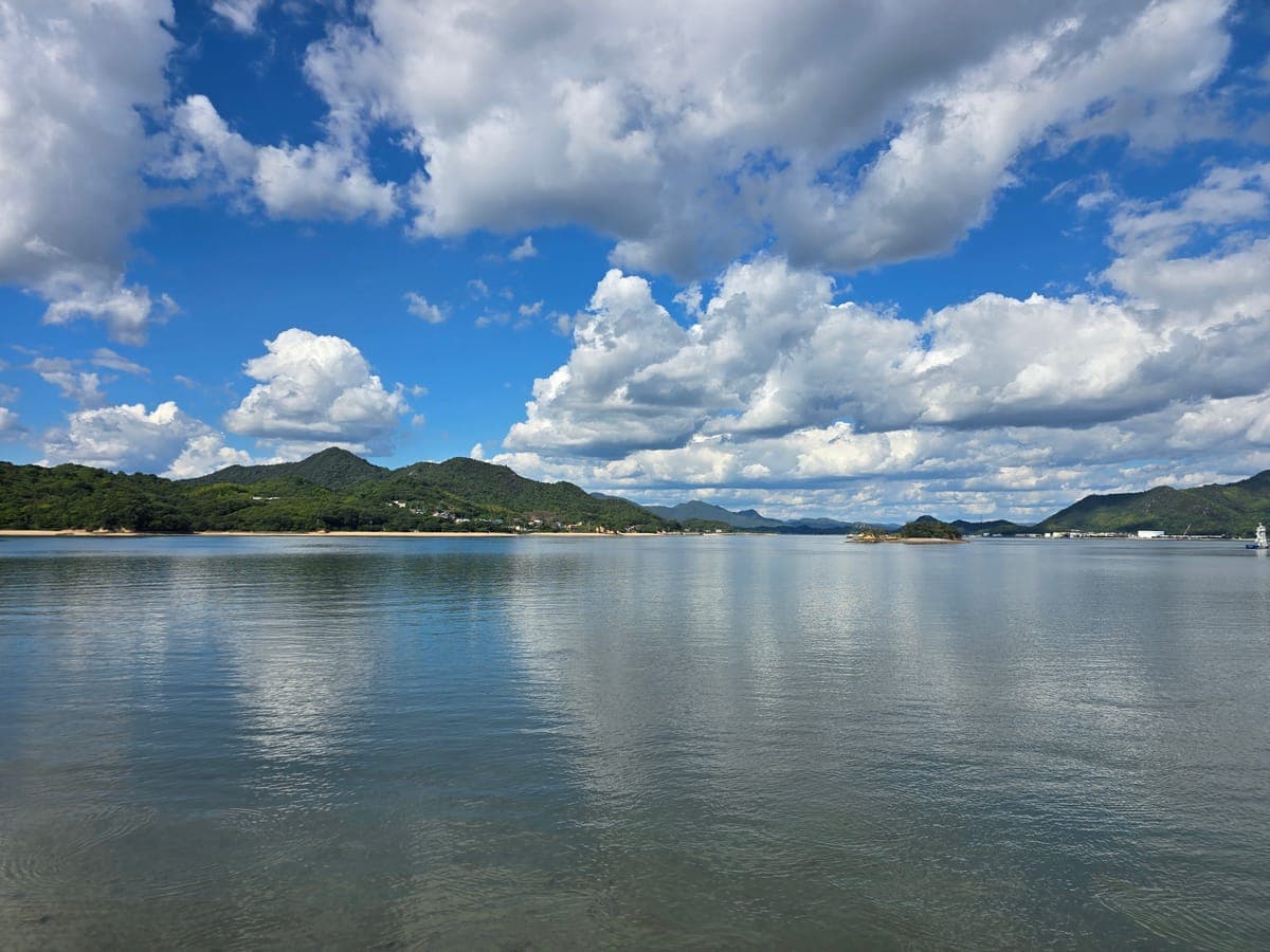
From the shore in front of Dolce you can see Sagishima and Shigei-cho on Innoshima to the north. The small island in the middle is Shimosagishima, about 1.3 km from where we stood.
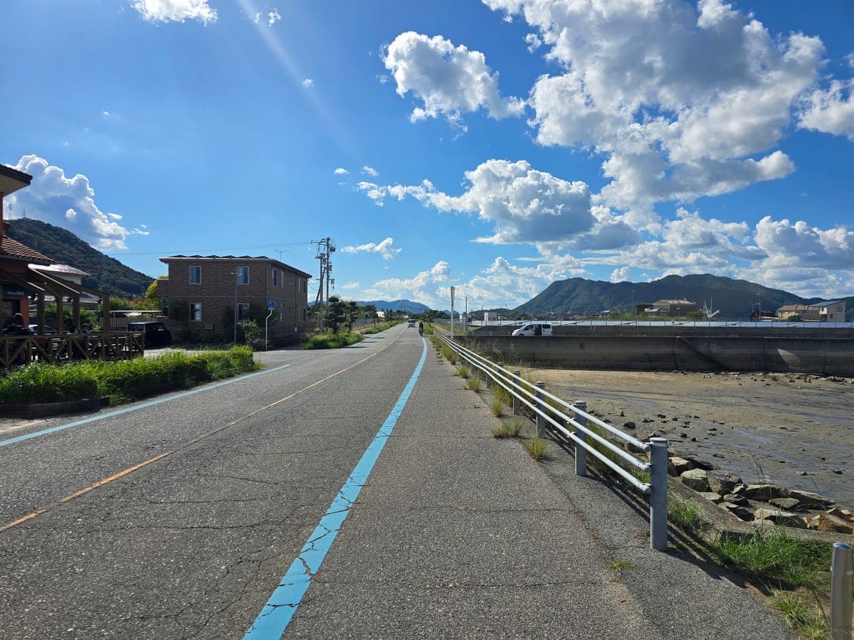
West of Dolce, a straight road continues along the sea. Follow the blue line on the shoulder and you enter Setoda town.
Walking Setoda town (Hirayama Ikuo Museum, Kosanji, Shiomachi shopping street)
In Setoda we got off our bikes and walked around between the Hirayama Ikuo Museum of Art and Setoda Port.
Where to park at the Hirayama Ikuo Museum and Kosanji
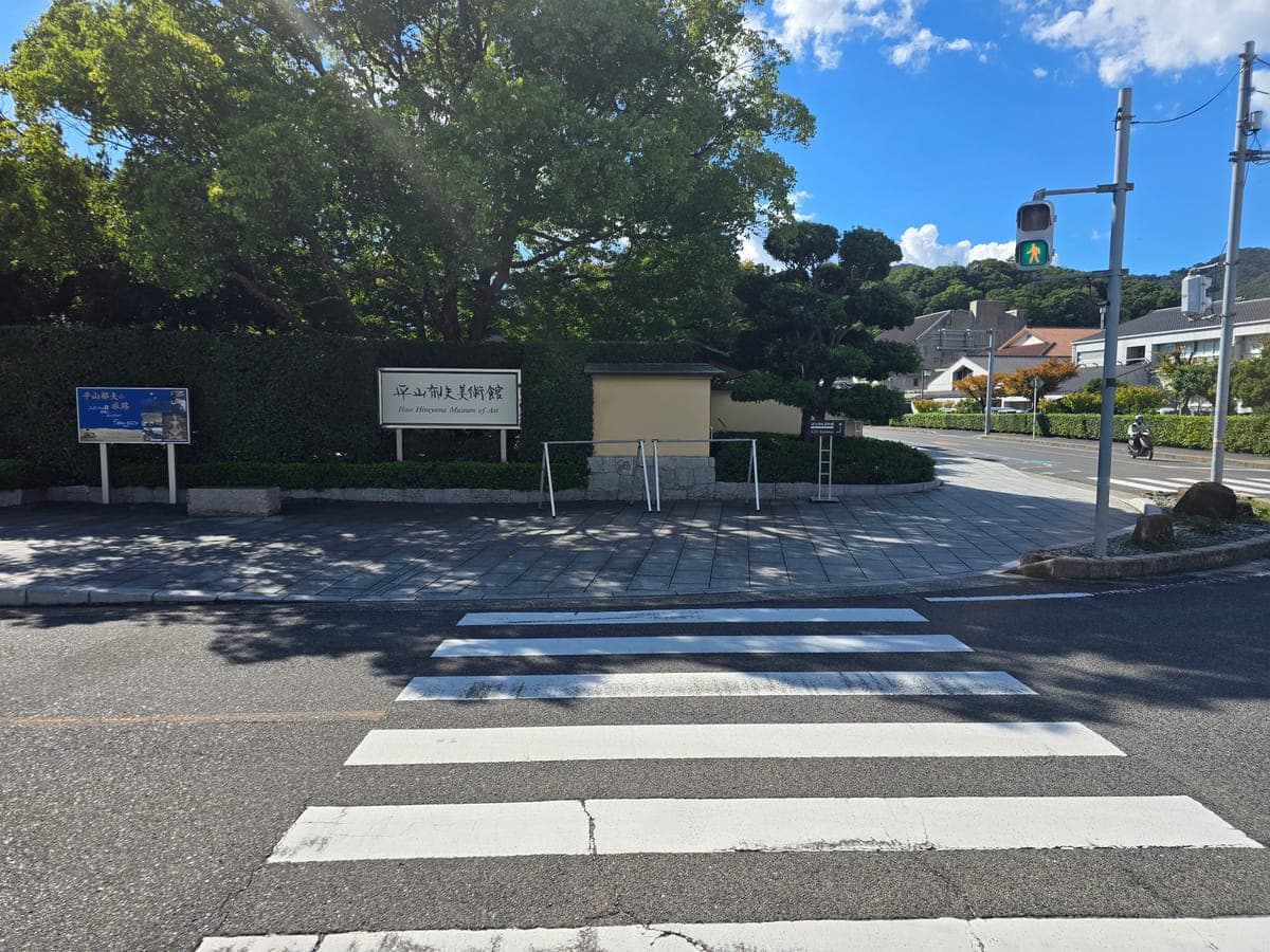
Right beside the sign of the Hirayama Ikuo Museum of Art are two bike stands.
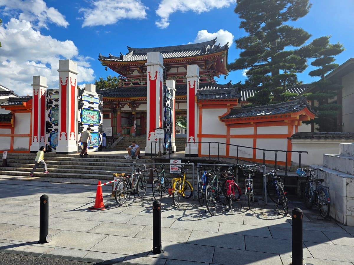
In front of the gate of Kosanji Temple there is also a rail-type bike hanger. When we visited, about 10 bikes were parked there.
The yellow postbox across from Kosanji
Across from Kosanji’s gate stands a round yellow postbox. On Google Maps it is listed as the “Lemon Postbox of Happiness.”
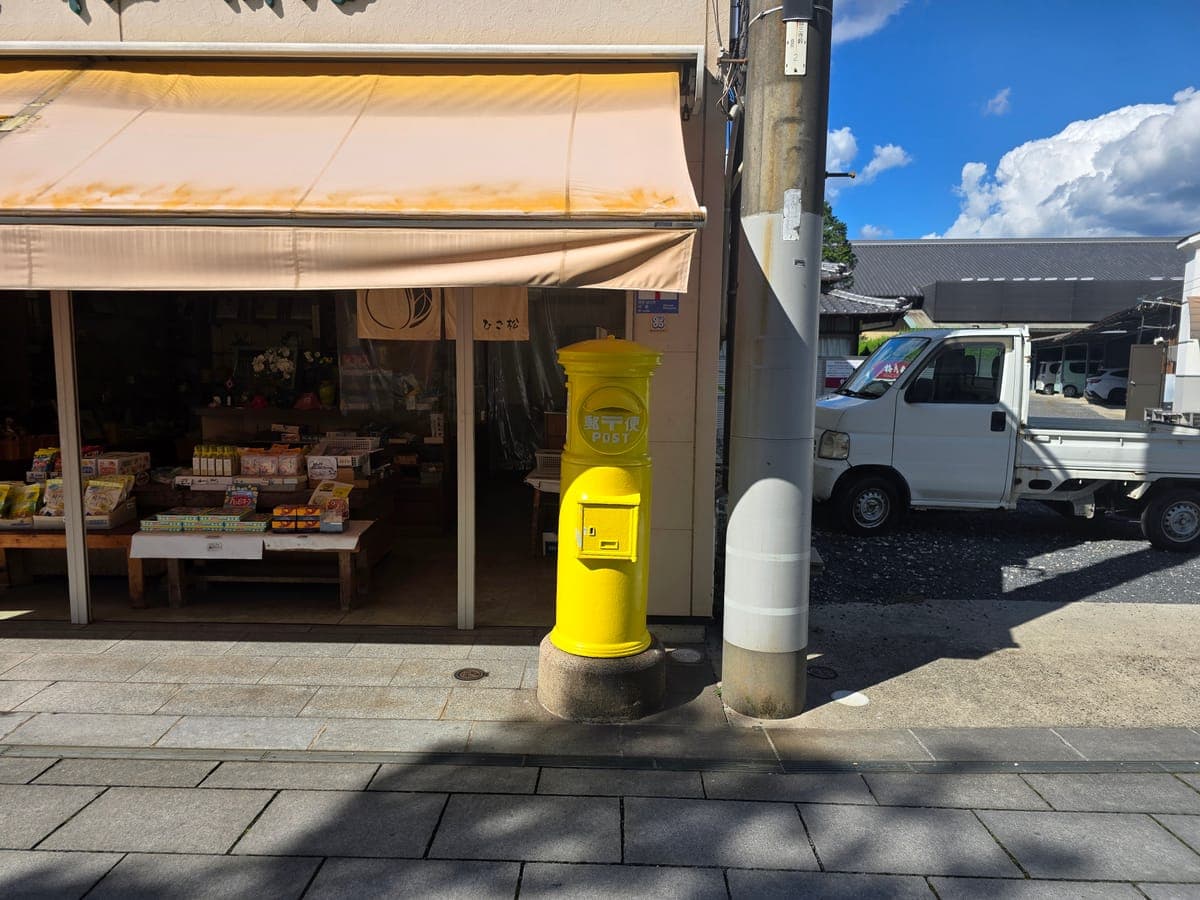
It is yellow because Setoda is a lemon-growing area. The Shiomachi shopping street held workshops to paint the postbox and shop shutters yellow. Together with planting lemon trees along the street, this has shaped the look of the town.
*Details of the workshops are from the Shiomachi shopping street’s project report (note: “Shiomachi and Workshops,” 2021).
Walking the Shiomachi shopping street
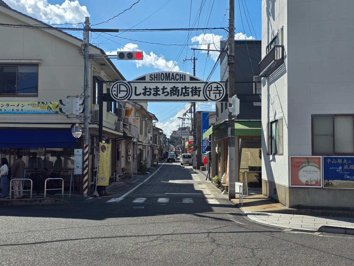
About 90 m west of the yellow postbox is the entrance to the Shiomachi shopping street. An arch sign spans the road, and beyond it a street about one car wide continues.
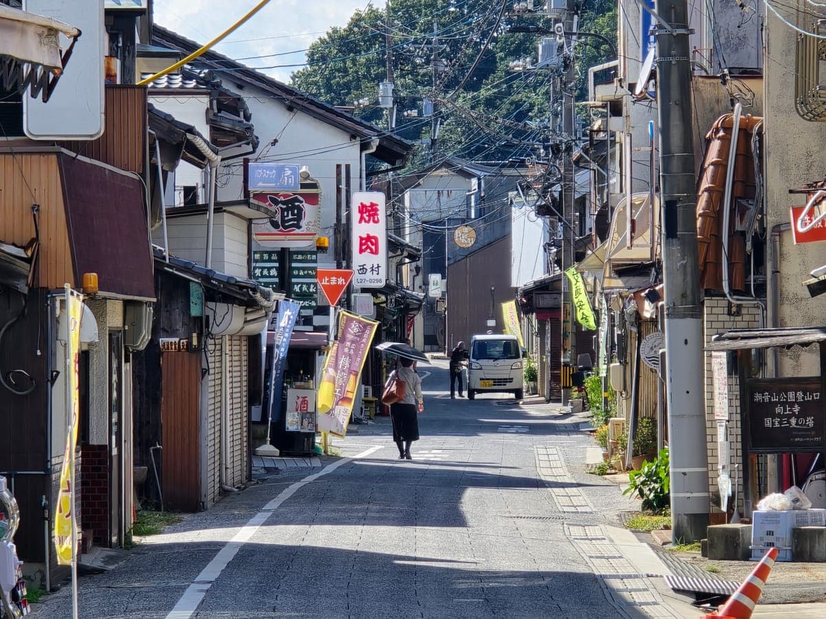
At the west end of the street, new wooden buildings stand next to old earthen storehouses. At SOIL Setoda, a cafe that is also a place to stay, there was a “Bike Rental” sign out front.
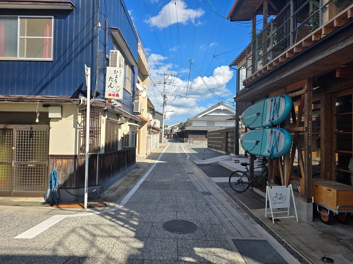
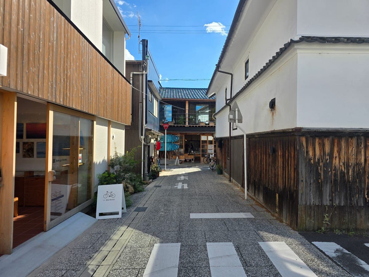
In an alley running south is Kokage Books, a book space attached to a place to stay. This time we did not go into either, just looked from the street.
Setoda Port and the Takane Bridge
A little past the west end of the Shiomachi shopping street, you reach Setoda Port. There is a single-story building with a tiled roof and “Setoda Port” written on the wall.
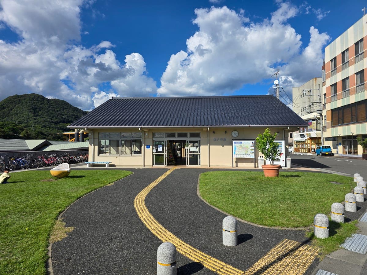
In front of the building is a lawn. There were two tables with parasols, and people were resting. The yellow half-dome benches are shaped like lemons cut in half.
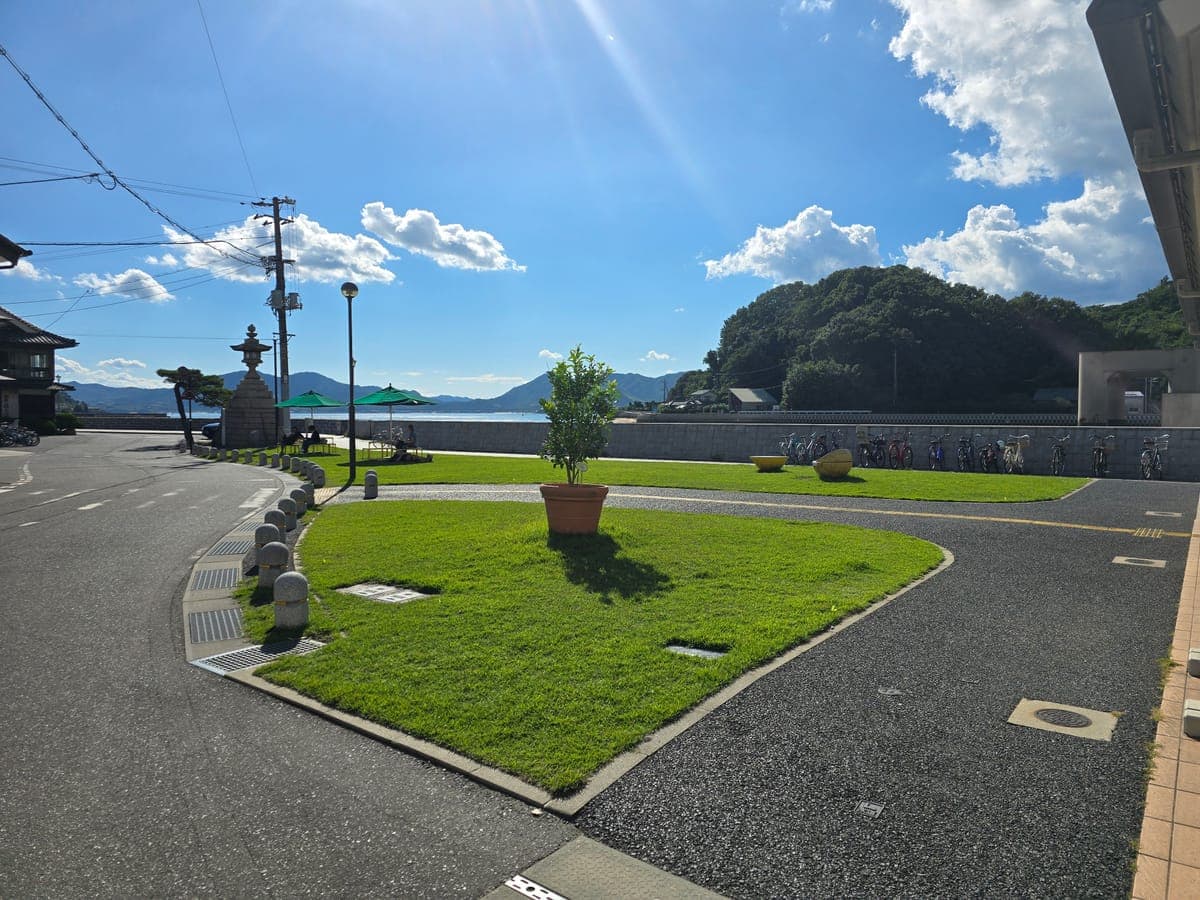
The sign at the boarding gate says “Itterasshai” (have a good trip) with a picture of a lemon.
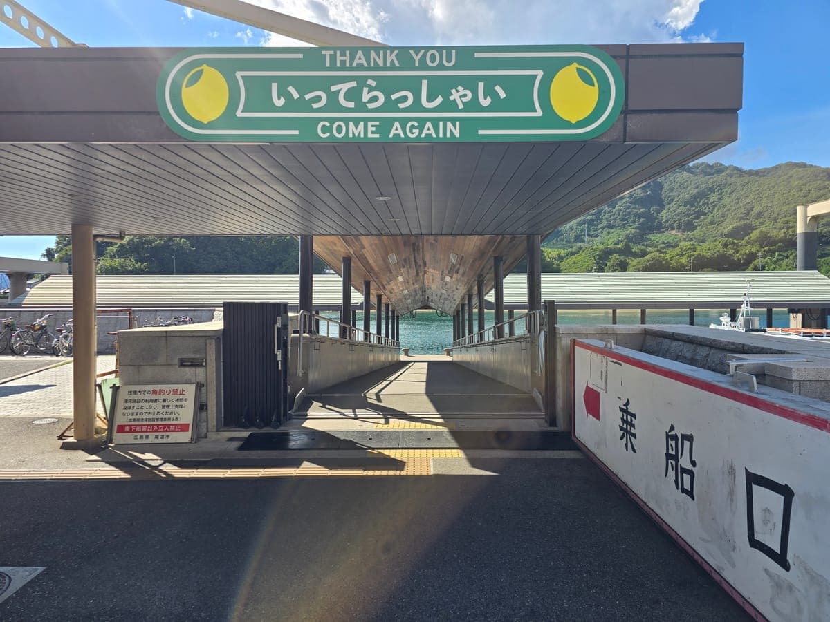
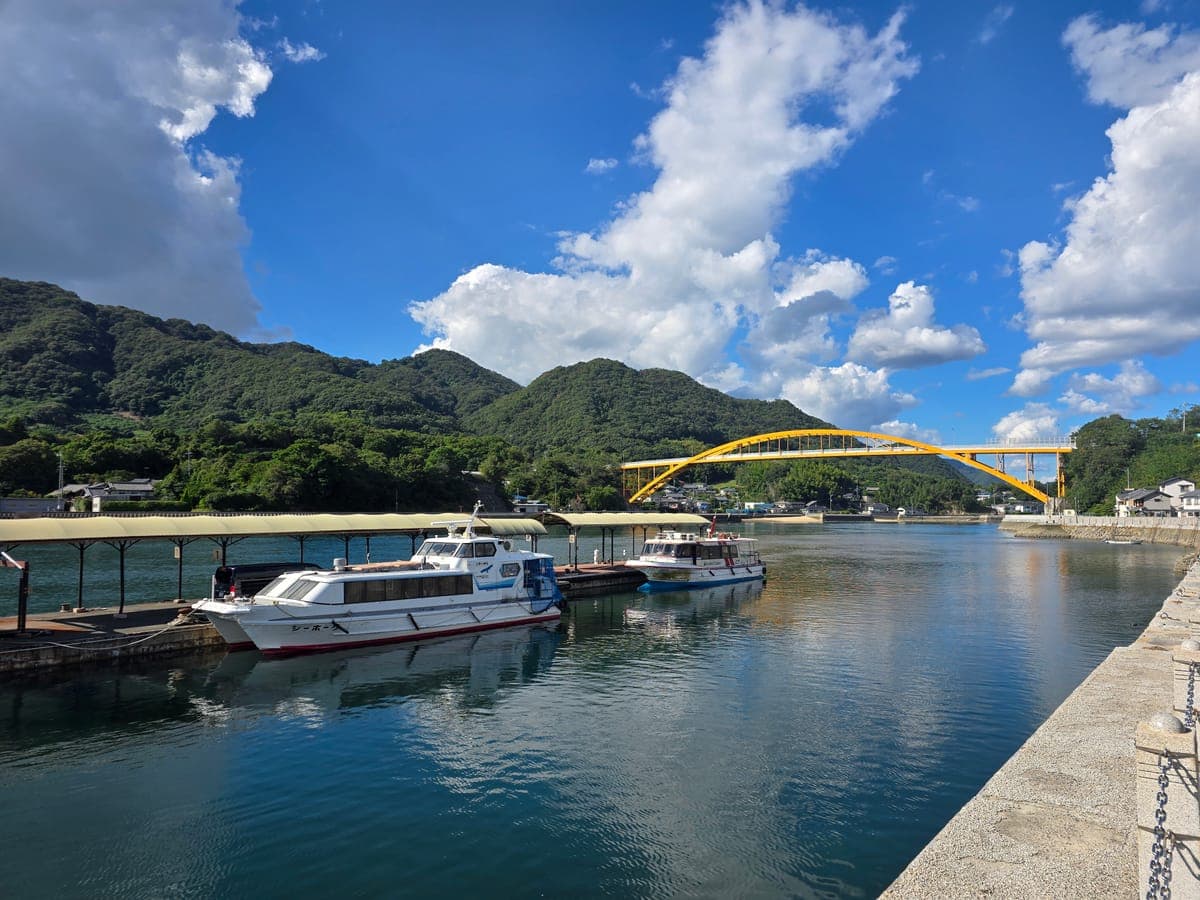
The lemon postbox, the benches at the port, the sign at the boarding gate: lemon colors and shapes are all over town. When you ride through Setoda, look out for them as you walk.
Prefectural Road 81 down the west coast to the Tatara Bridge
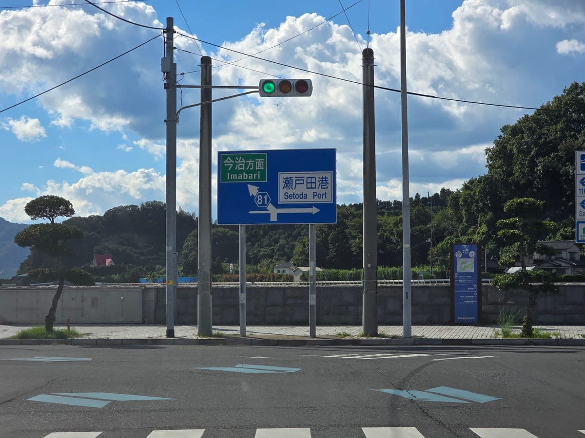
We went back to the intersection just before Setoda Port and got back on our bikes. Turn left following the “for Imabari” sign, and you ride south down the island’s west coast on Prefectural Road 81.
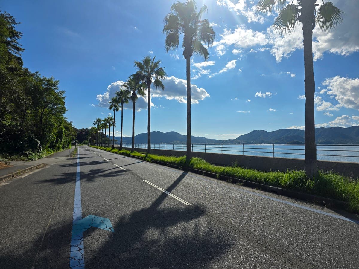
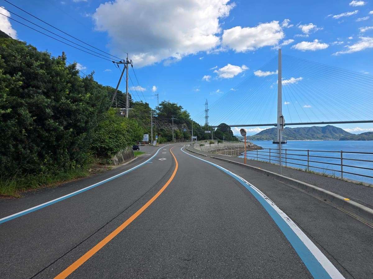
About 1.2 km south of the intersection, you enter a section with palm trees lining the sea side. More than 10 palms stand in a row, and Omishima is visible across the water beyond the seawall.
Further along Prefectural Road 81 is Setoda Sunset Beach. This time we rode past without stopping. The beach facilities and parking are covered in the spot article.
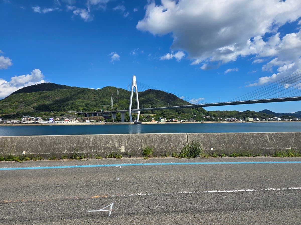
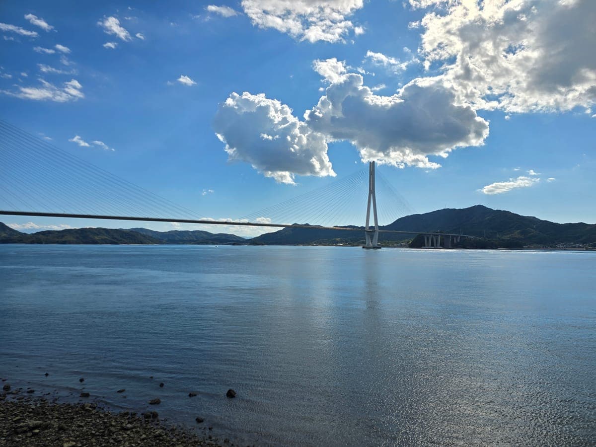
About 3.2 km south-southwest of the palm-lined section, the Tatara Bridge appears ahead. When it was completed in 1999, it was the longest cable-stayed bridge in the world (Nippon Tabi Magazine). Beyond the bridge is Omishima, the next island you cross to.
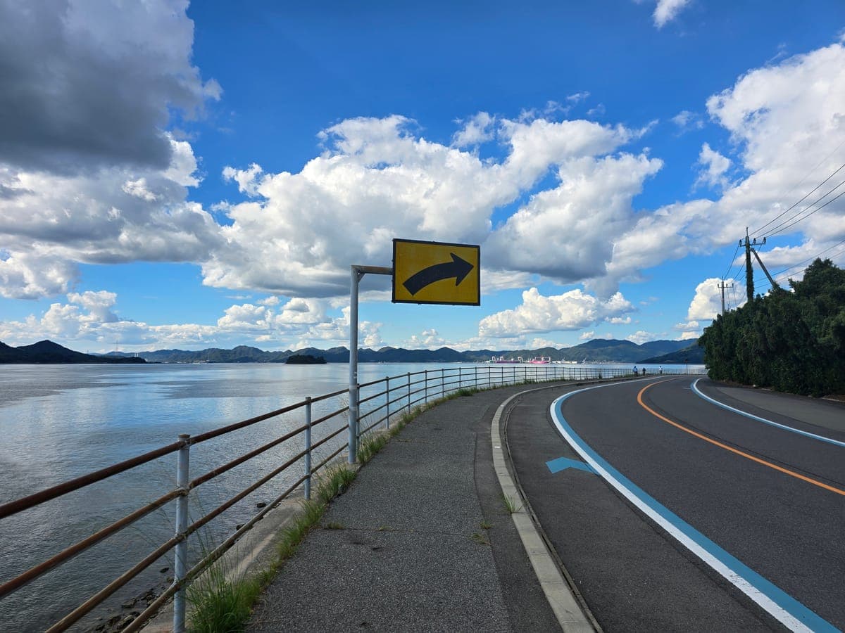
Turn around at the same spot and the coastal road you rode curves away to the right. In the distance is Imabari Shipbuilding’s Hiroshima Shipyard in Mihara on the mainland side.
Directions when coming down onto Ikuchijima from the Tatara Bridge
The Tatara Bridge bike path connects to Prefectural Road 81 at an intersection. We did not cross the bridge this time, but here is what the intersection looks like for riders coming from Omishima.
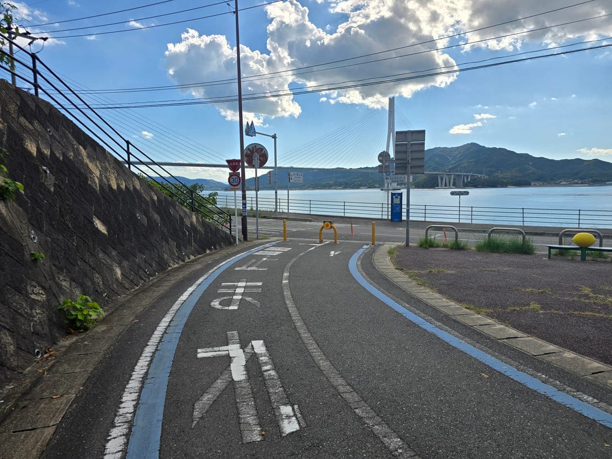
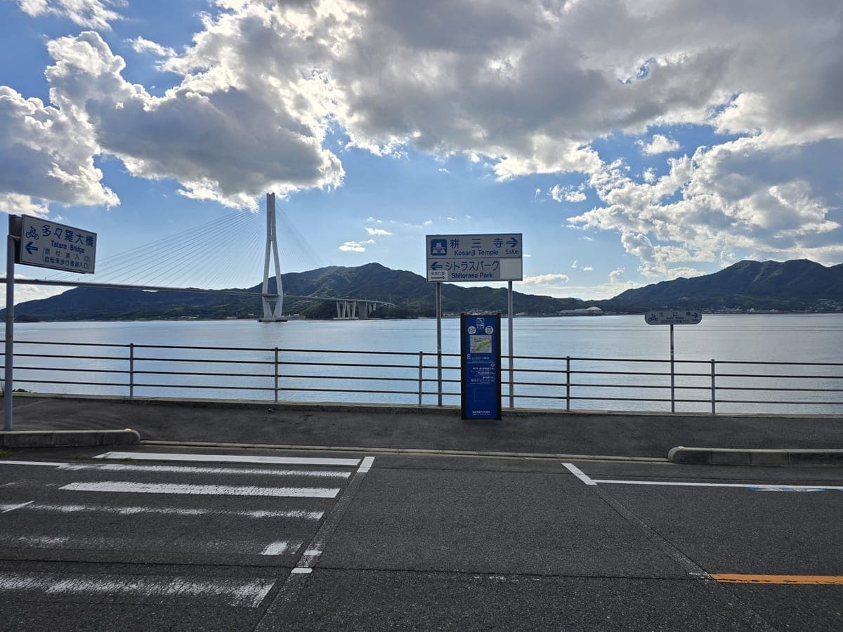
Directly ahead as you leave the intersection are destination signs. Right goes to Kosanji and Setoda Port; left goes to Citrus Park Setoda.
The south coast and tidal flats facing Hakatajima
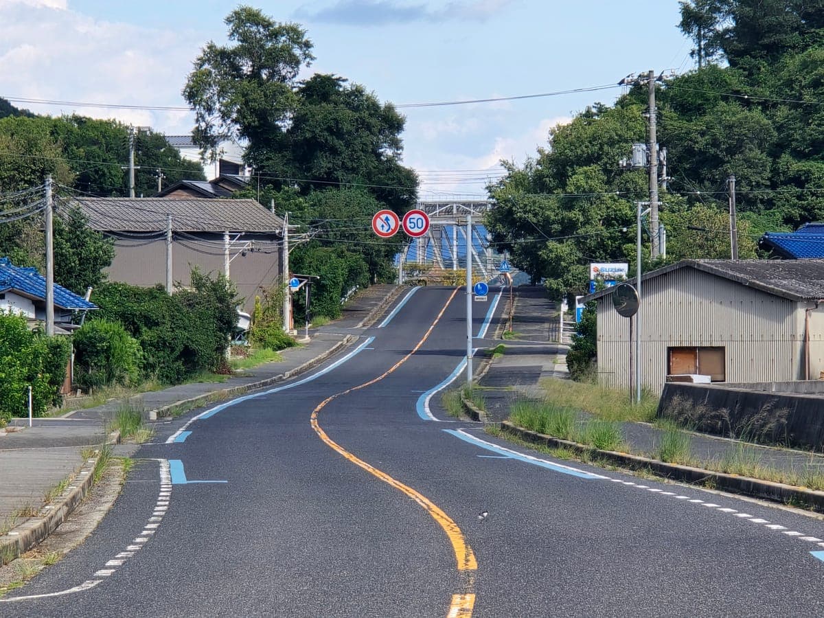
Past the underside of the Tatara Bridge, the road heads east along the island’s south coast. Straights and short curves alternate, with some ups and downs here and there.
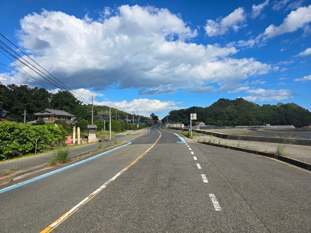
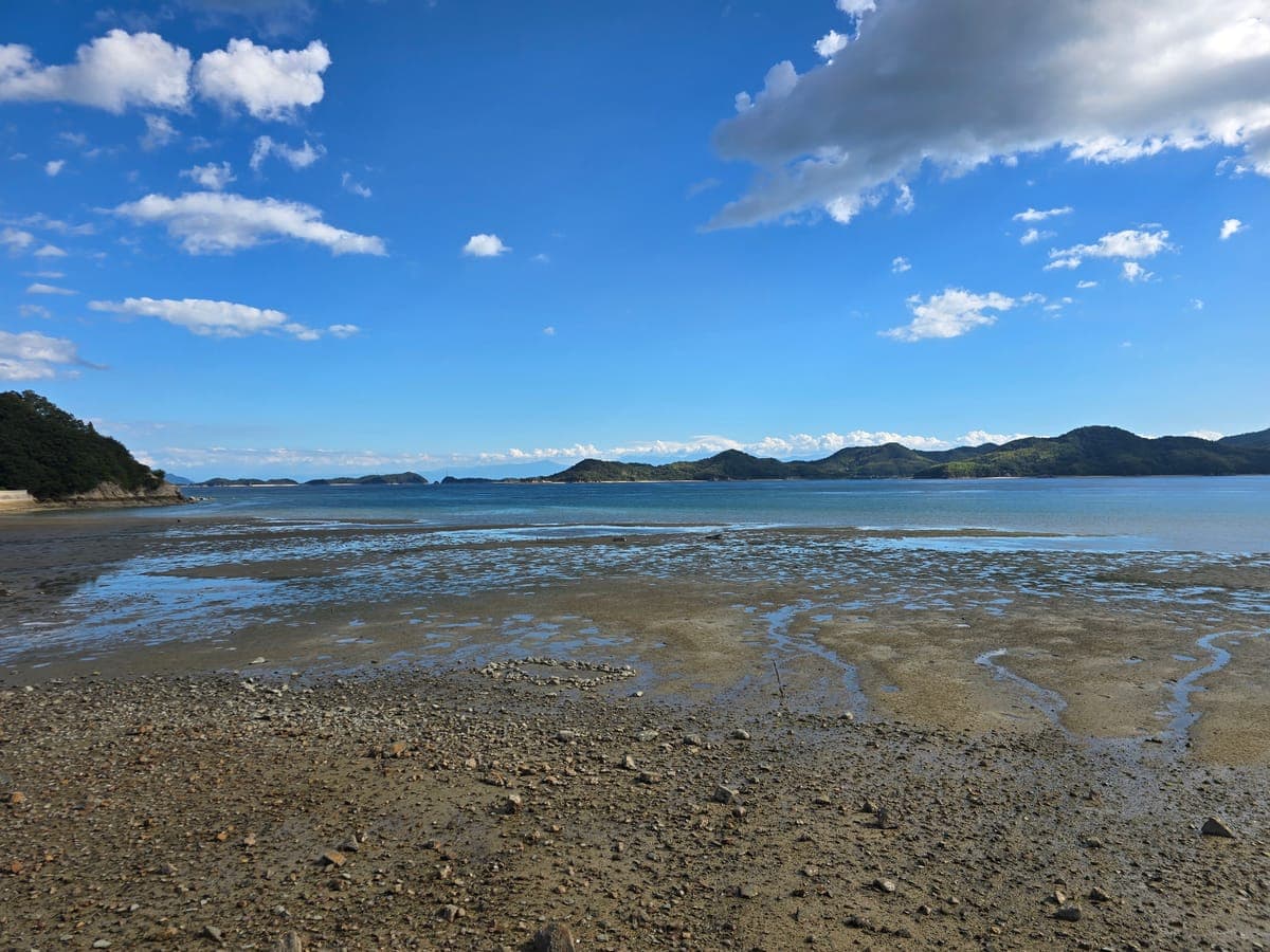
Look out to sea to the south from the roadside and you can see the hills of Hakatajima offshore. When we visited, the tide was out, and a wide tidal flat of pebbles and sand was exposed.
Beyond here, the coastal road continues from the south coast to the east coast. This time we kept going around the island and returned to the bottom of the Ikuchi Bridge path.
Things to know when cycling Ikuchijima
- Mopeds and motorcycles cannot park in front of Kosanji’s gate: the bike hanger there is for bicycles only.
- Mopeds pay a toll on the Ikuchi Bridge: according to the toll board, mopeds of 125 cc and under pay 50 yen. Bicycles and pedestrians are free.
- Stock up at the bottom of the bridge: there is a 7-Eleven right beside the bottom of the Ikuchi Bridge bike path. There is also a vending machine in front of the Setoda Port building.
- Sign distances differ by type: the tall navy-blue signs and the small white signs give different distances to the same bridge.
Places to stop on Ikuchijima
Spots along this route that we cover in detail:
Kosanji Temple
A temple in Setoda town. There is a bikes-only bike hanger in front of the gate.
Hirayama Ikuo Museum of Art
About 150 m from Kosanji. Bike stands beside the sign.
Setoda Sunset Beach
A swimming beach on Prefectural Road 81, about 3.0 km from Setoda Port.
The section before Ikuchijima is in the Innoshima cycling guide, and the overall Shimanami Kaido route and what to bring are in the Shimanami Kaido cycling guide.
After Ikuchijima, on to Omishima
Cross the Tatara Bridge and the next island is Omishima. These articles cover places to stop on Omishima.
STAY


